4 Nature Trail Spots to Marvel At

Oxford, Ohio has an abundance of nature trails to explore all throughout town and we've rounded up five specific areas that are worth going out of your way to find. (And we'll help you!) You may be surprised at all of the hidden gems of our small town, ones that we guarantee you'll want to revisit again and again.

The last two stops on this list, the Black Covered Bridge on the Oxford Area Trail System and the Boardwalk at the Ruder Preserve, are both wheelchair accessible because exploring nature is something everyone deserves to enjoy.


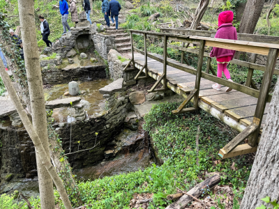
A suspension bridge covered in leaves, over top of a creek with pebbles. Colorful trees frame the bridge.

Suspension Bridge on the East Loop Trail

There are many Natural Areas of Miami University to explore throughout town. Over 17 miles, in fact. Ranging from easy to hard, there's a trail for you no matter your difficulty preference. But because there are so many areas to choose from, you may not know where to start your adventure.

We suggest the Eastern Trail of the Bachelor Preserve Loop because that's where you'll find the stunning Suspension Bridge over Harkers Run creek.

A hand pointing to a map of the Miami University Nature Areas.Nestled among the dense green woods of the Bachelor Preserve, the suspension bridge will bring back memories of swinging bridges on childhood playgrounds. It will sway slightly as you cross, though do not fear because it's sturdy and safe. Just watch your footing, as some of the wooden planks have wider spaces between them.

When you get to the middle of the bridge, take a moment to pause and enjoy the view of Harkers Run creek on either side of you.

How to get here: The entrance to the Bachelor East Trail is located at 5239 Oxford Milford Rd. It's easy to miss the little parking lot that's right off the road, so slow down and keep an eye out. Once you park, you'll notice the trailhead with a helpful map and a red "you are here" sticker. (See where I'm pointing on the map? That intersection of trails is where the swinging bridge is.) Follow the trail and eventually you'll come upon a pond to your right. Keep going! At every fork in the trail there will be another trail map to help you find your way. It will take about 10 - 15 minutes to get to the bridge.


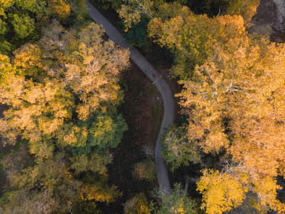
Orange and yellow trees surround a small foot bridge that's covered in leaves.Community Park's Hidden Trails

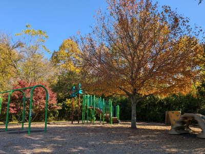
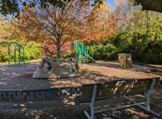
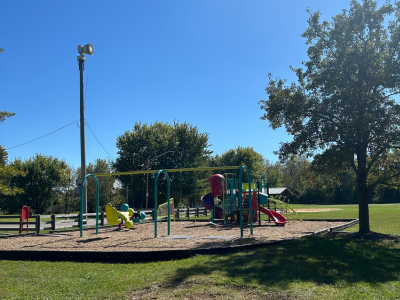
The Oxford Community Park (6801 Fairfield Rd.) is well known for its soccer fields, playground, and the town's Aquatic Center. But did you know there are also scenic nature trails tucked into the trees?

The trails are short, making them perfect if you want to bring the little ones along without them getting antsy. The trails are also completely sheltered by lush green trees, so taking a walk is a great way to beat the heat. If you've been out in the sun playing basketball or running around the playground, take a break and enjoy a shaded walk. You'll cross bridges, hear small creeks, and see bright green all around you.

How to get here: There are two trailheads you can take at the Community Park. One is to the left of the Aquatic Center just behind the paved path. The other can be found if you walk the paved path past the playground (towards the hill) and then take a right. Both trailheads have a sign so you'll know when you see them!


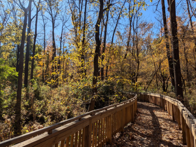
Wooden boardwalk between the trees with fallen leaves on it

Accessible Boardwalk at the Ruder Preserve

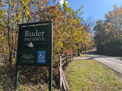
If you're looking for an accessible, short walk through a gorgeous display of nature, we recommend Three Valley Conservation Trust's boardwalk through the Ruder Preserve. The second phase is almost complete and there's already a good amount of length finished.

A photo of a wooden box in the woods that reads "Look Inside, Ohio Buckeye."In addition to being wheelchair accessible, the boardwalk offers seating and plenty of shade as it winds through the trees. It's a truly remarkable project that took our breaths away when we first saw it.

Additionally, there's an adorable wooden box at the entrance of the boardwalk and when you open it up you'll be pleased to see hand sanitzer and a laminated nature-themed activity booklet for kids! The booklet includes crosswords, brain teasers, and more.

Thank you to Mark Boardman, Donna McCollum, Trish Clemmons, Barbara Hamilton, and Hays Cummins who have put in a lot of time volunteering for this project. The boardwalk is funded by donations to Three Valley Conservation Trust.

How to get here: From Sycamore Street, take a slight left onto Bonham Road. You'll then take a right on Shadowy Hills Drive where you'll immediately see a small parking lot on your left. The entrance to the boardwalk is right there.


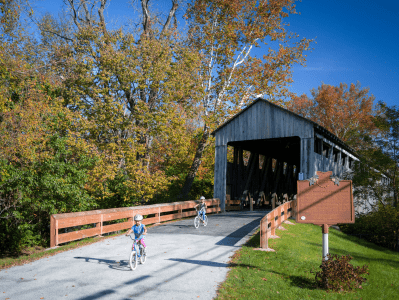
Black Covered Bridge off a paved parking lot, surrounded by trees and grass with a blue sky

Black Covered Bridge on the Oxford Area Trail

Built in 1868, the Black Covered Bridge is one of few in southwestern Ohio and the only one in Butler County. It crosses over the Four Mile Creek and connects to the first phase of the Oxford Area Trail System.

The Black Covered Bridge is a beautiful site from the outside, which is the perspective you're most likely familiar with. But if you've ever gone inside you'll know the interior is also a sight to behold. The light always seems to glow and the openings at either end feel like portals into another world. This is the perfect spot to take photos, whether they're engagement or graduation photos, or just photos of the bridge itself.

How to get here: There are two ways to get to the Black Covered Bridge. You can drive right to it by turning onto Corso Road from Morning Sun Road. Corso Road is a small access road that will take you to a small parking lot right at the bridge. It's a lovely setting, with flowers and a picnic bench if you'd like to stay a while.

The other way to get to the bridge is by taking the Oxford Area Trail from Leonard Howell Park on Bonham Road.


A photo of a road on a hill next to a small creek.

Bonus: The Oxford Area Trail Phase Two

The second phase of the Oxford Area Trail is officially open (you can see the recorded ribbon cutting here).

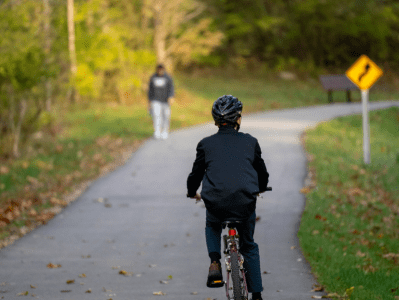
This phase of the trail connects Peffer Park to the Dewitt Log House. The trail is wide and paved, making it perfect for strollers, wheelchairs, and bikes.

When the Oxford Area Trail is done it will be 12 miles all around the city of Oxford. Find the different trailheads available so far by clicking here.

Recent Articles

Small Town Summer in Oxford, OH

Oxford, Ohio, our vibrant college town, is the perfect destination for a picturesque summer day! Between all of our events and activities, there's something for everyone to...

Read More

Farm-to-Table in Oxford, Ohio

My favorite part of the week, hands down, is Saturday morning. Waking up slowly, sipping on some coffee, and walking around the Oxford Farmers market is my preferred way to welcome the weekend with...

Read More

Oxtoberfest

Oxtoberfest When: October 8th 1:00pm - 10:00pm Where: Uptown Park 'Tis the seaon of falling leaves, caramel apples, pumpkin carving... and of course BEER! The first annual Oxtober fest will be...

Read More